Big Bear
An alpine lake town where the pines outnumber the people, just barely.
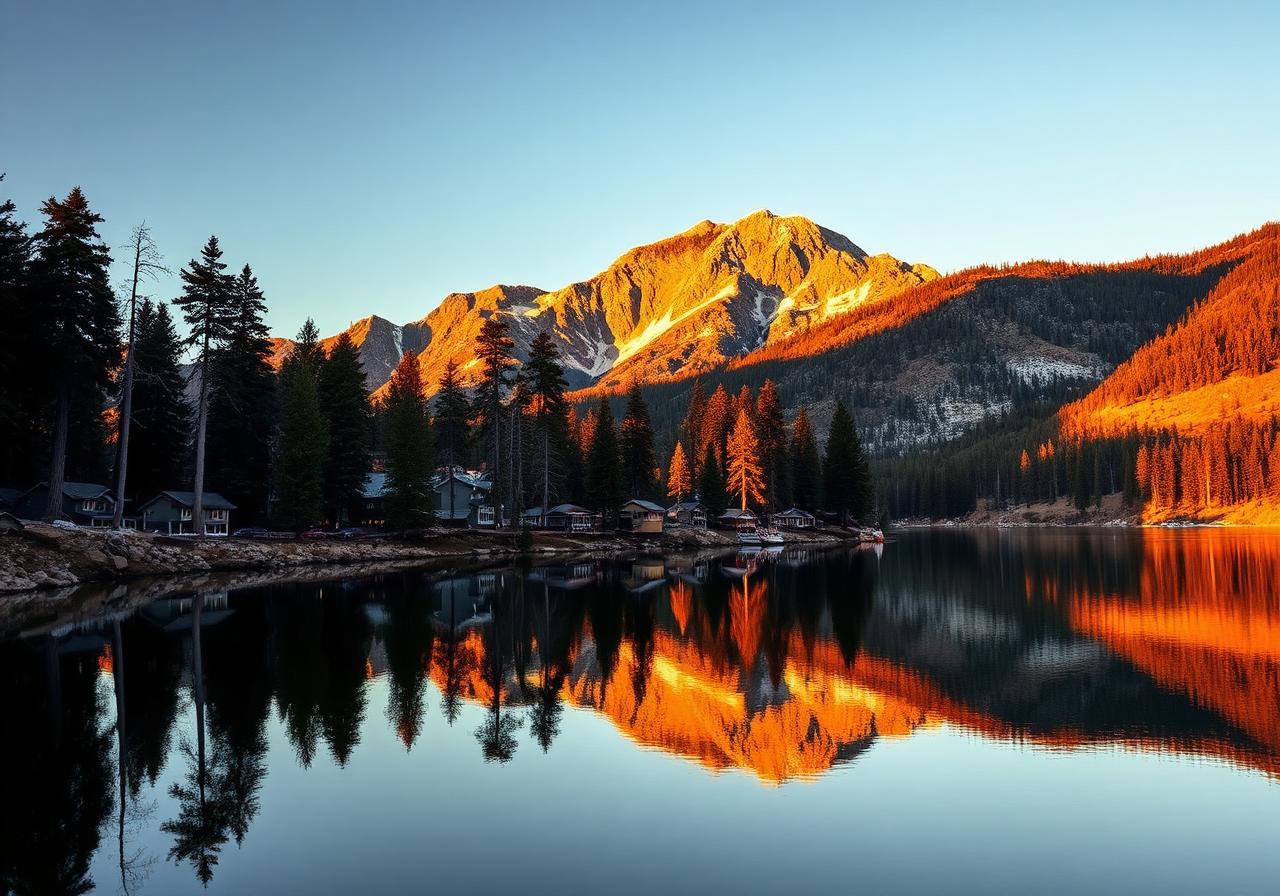
Big Bear sits 6,750 feet up in the San Bernardino Mountains — a long, narrow lake ringed by pine forest, ski runs, and a village that wears flannel year-round. This hunt threads the Village, the lakefront, and a few quiet ridges most weekenders drive past on their way to the chairlift.
Your route
Pinch to zoom. Tap a marker to see the stop name. The dashed line traces the suggested walking order.
Turn-by-turn stops
Each stop shows the walking distance and direction from the previous one, plus a tap-through to your phone's maps for step-by-step directions.
- 01
The Village, Big Bear Lake
"Follow the alpine lights where boardwalks meet the pines and stories gather at dusk."
34.2436, -116.9116Start walking here - 140 m~2 min walkhead SW from stop 102
Veterans Park
"By the water’s edge, flags whisper the mountain wind’s salute."
34.2428, -116.9128Walk from stop 1 - 3.1 mi~66 min walkhead W from stop 203
Boulder Bay Park
"Where house-sized stones sip the shore, the lake mirrors its oldest postcards."
34.2390, -116.9666Walk from stop 2 - 740 m~10 min walkhead NW from stop 304
Big Bear Dam
"At the lake’s western gate, concrete holds a century of mountain water and ambition."
34.2428, -116.9732Walk from stop 3 - 940 m~12 min walkhead SW from stop 405
Castle Rock Trailhead
"A granite crown above the pines, where the valley spreads like an old map below."
34.2371, -116.9807Walk from stop 4 - 3.4 mi~74 min walkhead E from stop 506
Pine Knot Trailhead (1E01) – Aspen Glen Picnic Area
"From an old canyon, a path climbs where loggers once rattled the ridgelines."
34.2387, -116.9204Walk from stop 5